The honest frame
Drone and fixed-wing aeromagnetic programmes solve overlapping problems at different operating scales. Platform choice should follow the area, target, terrain, airspace, flight height, line spacing, payload and mobilisation plan. There is no universal area threshold at which one becomes the right answer.
A regional dataset can guide a more focused follow-up investigation. The value is in matching the acquisition to the geological question, then interpreting it alongside other evidence.
Where fixed-wing wins
Regional coverage. Large areas can favour the endurance and area coverage of an appropriately equipped crewed aircraft. Payload and programme design. A requirement for several geophysical instruments, long lines or a regional campaign may determine the platform.
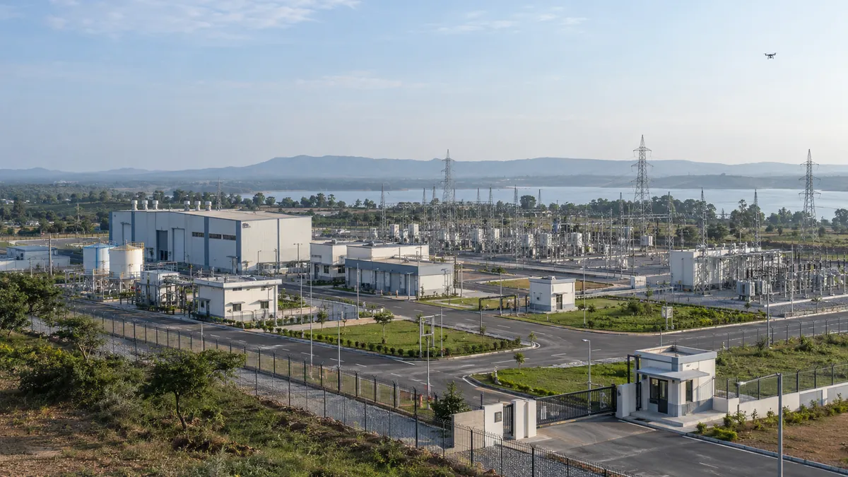
Operating bases, terrain, crew safety, maintenance, airspace and local permissions remain material constraints. A distant airstrip or difficult mobilisation can change the economics.
Where drone wins
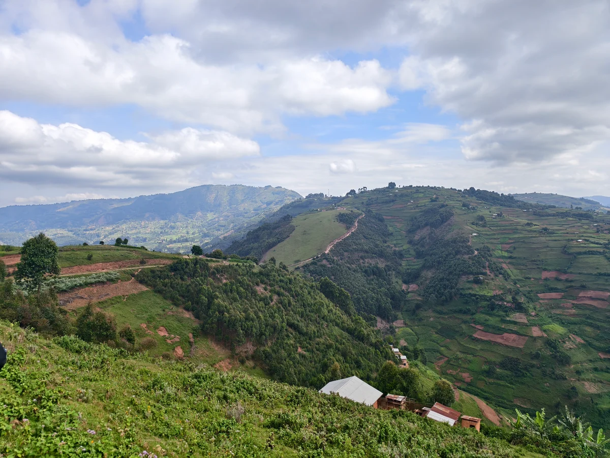
Focused target work. Smaller priority areas may suit drone mobilisation and a tailored flight plan. Repeat or infill acquisition. A drone can be useful where the aim is to fill a defined gap or revisit a specific target, subject to access and permissions. Terrain-aware planning. The flight design can be chosen around the target and local operating limits.
Resolution is not an aircraft label. Acquisition height, line geometry, sensor performance, positioning, noise and processing all influence what the data can support. No fixed cost fraction, line spacing or turnaround applies to every programme.
A decision rule
Start with the question: regional geological context or detailed investigation of a selected target? Ask each proposed supplier to show the coverage, flight height, line spacing, data quality plan, deliverables and operating constraints for that question.
Where the work spans both scales, scope a regional campaign and a target-focused follow-up together. Compare like-for-like deliverables and quality checks, not only quoted area or flying hours.
Where vendors mislead
Be cautious about a small-area acquisition price extrapolated to a whole region, a resolution claim with no flight geometry, or a schedule that assumes permissions and weather are guaranteed. Ask how measurement noise, temporal variation, tie-line consistency and processing decisions will be reviewed.
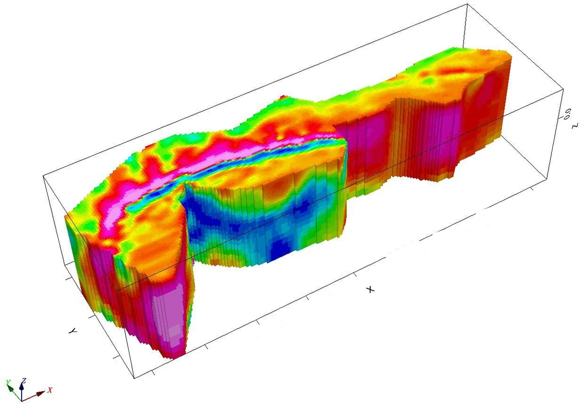
A magnetic anomaly is evidence of variation in the magnetic field, not proof of an economic mineral deposit. Geological interpretation and appropriate follow-up are separate steps.
Technical references
Primary references for the method and its limitations.
From understanding to action
Bring the question to your site.
Tell us what you need to measure, understand or review. We can help define the next step.