The short answer
Stockpile measurement estimates the volume occupied by material above a defined reference surface. The result is normally expressed in cubic metres (m³). A measurement record is useful when the pile boundary, reference base, capture date and quality checks travel with that result.
There is no single accuracy percentage that applies to every stockpile or every drone-based measurement. Define a project-specific acceptance method and suitable independent checks before capture. Converting a measured volume to tonnes is a separate calculation that needs an applicable bulk density.
How the method works
In photogrammetry, overlapping photographs are used to reconstruct a surface. Ground control and independent checkpoints establish how that surface relates to the site. The planned flight, image quality, visibility and processing method affect what can be reconstructed; camera specifications or image count alone do not establish accuracy.
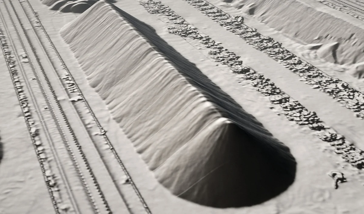
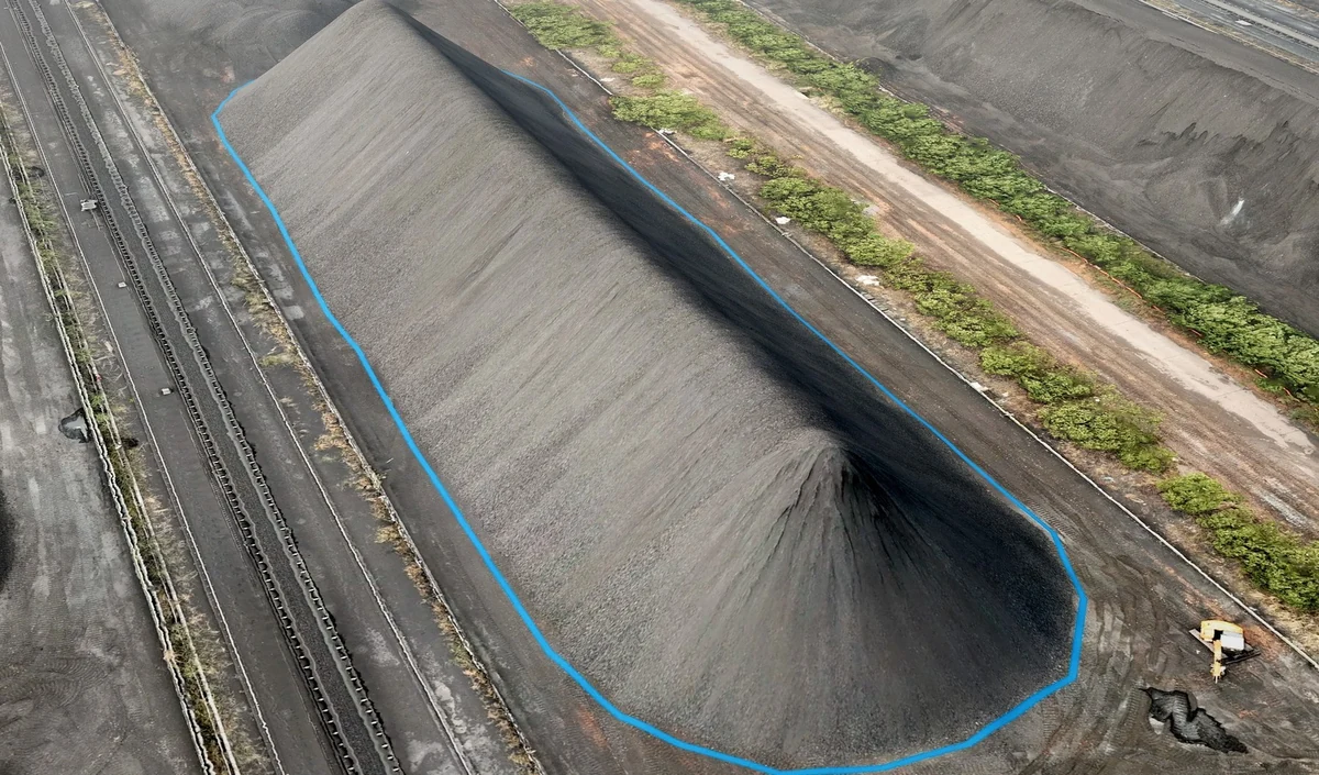
A boundary identifies the pile being measured. Volume is calculated between its surface and a defined base. That base might come from a prior empty-yard measurement or another explicitly agreed construction; it should not be treated as an invisible software default.
LiDAR captures range measurements using laser pulses. It can be appropriate where a photograph-based workflow is difficult, but it still needs line of sight, suitable operating conditions and an appropriate acquisition design. It does not measure through a tarpaulin or guarantee a usable result through dust or water.
Where the accuracy actually comes from
Three questions matter. Control and checks: what reference was used, and what independent observations tested it? Surface coverage: were the sides, toes and relevant hollows actually observed? Base definition: where is zero, and is that definition consistent between visits?
A visually dense point cloud is not an accuracy certificate. Ask for the stated checks, treatment of gaps and exclusions, and the basis on which the volume is accepted.
Connect volume, density and material movements
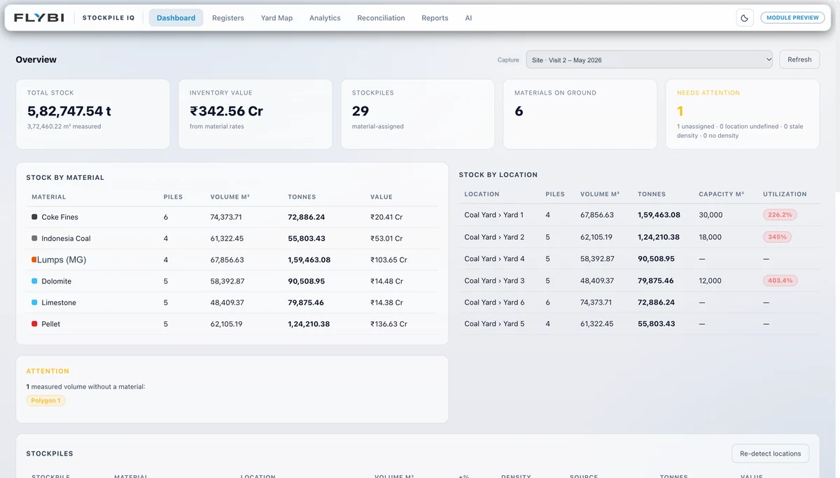
Volume is measured in m³; tonnage is derived using bulk density in t/m³. Density can vary with material, moisture and compaction. Record its source and the period or stock to which it applies.
Where the scope includes inventory reconciliation, compare compatible opening and closing measurements with recorded movements for the same cut-off period. A residual is a question to investigate: timing, movements, density, measurement assumptions and actual losses may all matter. It is not automatically proof of theft or of measurement error.
Agree the availability and quality of weighbridge or book data during scoping. The existence of a measurement dashboard does not establish a completed ERP integration.
Where the method breaks down
Active handling: a pile that changes during capture is not one stable surface. Coordinate the field window and the inventory cut-off. Water and poor image texture: these can limit surface reconstruction; a change of sensor is not an automatic cure. Covering: the observed surface may be a tarp or vegetation rather than stored material. Hidden toes and shared boundaries: adjoining stock, machinery and walls can leave the measurement base ambiguous.
Document limitations and agree how they will be handled before presenting a single final number.
The CFO test
Ask your current stockpile auditor four questions. What is your reported accuracy envelope, referenced to what? How do you reconcile to the weighbridge? What is your base-surface definition protocol? What is your repeat-capture cadence? The answers should make the calculation reviewable. Resolve gaps in the method or source records before treating a single number as the final inventory position.
Technical references
Primary references for the method and its limitations.
From understanding to action
Bring the question to your site.
Tell us what you need to measure, understand or review. We can help define the next step.