
Know the basis.
A georeferenced record of the selected parameters, capture time and altitude, with sensor checks and quality notes. Agree the CSV archive and metadata needed for your review.
Environmental intelligence · Air IQ
Understand airborne conditions around your operation. Flybi combines drone-based air-quality capture with location, altitude and site context to help environmental and EHS teams investigate patterns and plan follow-up.
Drone-based field intelligence for environmental, EHS and site operations teams.
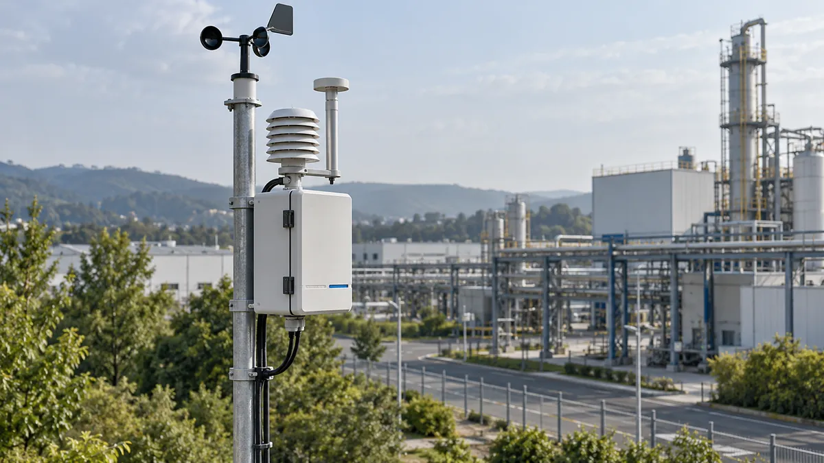
AirIQ / Workflow preview
One connected scene. From an emission source, through the changing site, to observations your team can interpret.
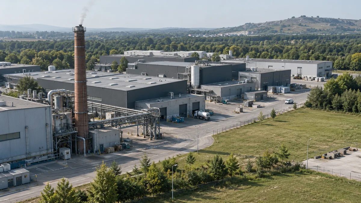
The complete workflow is available below.
01 / Source
Start with the source: where it is, what is operating and when emissions occur. That context gives the observations a useful starting point.
Source and site contextSite context ready
Play once, or explore the five chapters at your own pace.
Illustrative workflow. The photographic campus, airflow, observation positions and dashboard are conceptual; no site-specific predictions or measured readings are shown.
Start with the source: where it is, what is operating and when emissions occur. That context gives the observations a useful starting point.
Direction and atmospheric mixing influence where a plume travels and how it spreads. Switch the wind scenario to see why the same site can produce a different observation pattern.
Air slows, turns and mixes around structures. Terrain changes the path again. Bring the shape of the site into the explanation to understand where observations may differ.
Connect airborne and fixed observations with their location, timing and relevant conditions. Compare positions across the site to build a more useful picture of the pattern.
Read observations alongside wind, site geometry and operating context. The AirIQ workflow brings these perspectives together to help focus the next investigation.
Wind, mixing, structures and terrain can influence dispersion. Observations need location, timing, suitable sensor performance and site context before interpretation. The photo-grounded paths simplify those relationships; a real prediction needs site-specific inputs and an appropriate validated method.
The illustrated sensor and dashboard do not establish manufacturing, deployed features, source attribution or compliance. They show how an observation can lead to a better-informed review.
Review each reading with its position, altitude and capture time.
Read the pattern alongside wind, buildings, terrain and operating activity.
Use the evidence to target repeat capture, ground checks or specialist modelling.
From observation to understanding
Location, timing and measurement quality give an environmental observation its meaning. Keep them connected before interpreting a pattern.
Record the location, inlet height and nearby structures or activity. The same reading can mean different things at a site boundary and inside an operating area.
Connect the observation to its time window, wind conditions and relevant activity. Compare compatible periods before interpreting differences.
Keep the parameter, units, sensor checks, calibration basis and data-quality flags with the record. A trend is useful only when its measurement basis is understood.
Observation → context → a better next question.
From readings to review
Define the source and parameters of interest first: particulate matter or relevant gases, the operating conditions and the capture window. Sensor suitability and reporting needs shape the field plan.
A georeferenced record of the selected parameters, capture time and altitude, with sensor checks and quality notes. Agree the CSV archive and metadata needed for your review.
Review concentration maps and altitude bands alongside the physical site and weather record. Separate measured samples from interpolated views and any modelled scenario.
Give the EHS team a summary of the captured conditions, patterns and limitations, with the next checks made clear. Regulatory use and any source-attribution work need an explicit specialist scope.
Air IQ / Product direction
Air IQ is being developed to connect observations, site context and environmental review. The animation previews that direction; it is not a deployed monitoring dashboard. Discuss the field programme and the potential product workflow separately.
Explore the V7 platformIdentify the emission source, parameters, operating conditions and period of interest.
Plan the airborne capture, reference information, quality checks and weather window.
Review the maps, time-stamped records and findings with the environmental team.
Before we begin
Share the site and source location, parameters of interest, the event or reporting question, and existing monitoring records. Access, operating activity and weather constraints help define a useful capture window.
No. A sensor records conditions at a location and time. A model explores behaviour under defined inputs and assumptions. They should remain distinguishable, with limitations visible in the review.
Position, altitude, wind and timing can help narrow an investigation. An observed pattern alone does not prove a source. Attribution requires supporting evidence, suitable methods and specialist validation.
Share the sensor types, calibration information, time resolution and available formats. Existing records can be reviewed as potential context; a live Air IQ integration is not implied by this product preview.
A deployment designed around the question
An effective monitoring programme depends on where, when and why information is collected—not simply how many sensors are installed.
Define the site boundary, locations of interest, operating patterns and time window. Agree the parameters to observe, sensor placement, calibration and quality checks before the review begins.
Buildings, terrain, roads and relevant operating activity provide spatial context. Weather and other model inputs should be documented, with their sources and assumptions visible.
Compare observations, identify patterns and record the questions that need further investigation. Keep measured values distinct from modelled scenarios and interpretation.
Start with your site
Tell us about the location, the conditions and the decision ahead. We’ll start with the right questions.