
Explore a block
Aeromagnetic coverage and magnetic interpretation can help focus further geological investigation. An anomaly is evidence to investigate, not a confirmed deposit.
Aeromagnetic intelligenceWhere we work
The right method starts with the decision. Explore the questions we help teams investigate across industrial sites.
Mining & exploration
Exploration and production ask different questions of the same landscape. Choose the intelligence method and output for the stage of the asset.
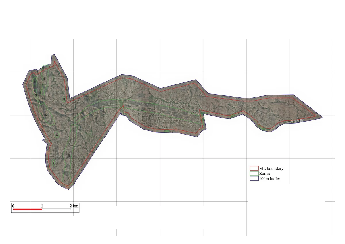
Aeromagnetic coverage and magnetic interpretation can help focus further geological investigation. An anomaly is evidence to investigate, not a confirmed deposit.
Aeromagnetic intelligenceTopographic surfaces and point clouds give the planning team a spatial reference for pits, dumps, access and surrounding terrain.
LiDAR & mappingPile-level volumes and compatible measurement visits support an inventory review with its measurement basis visible.
Stockpile intelligenceFor a useful first discussion
Steel & raw materials
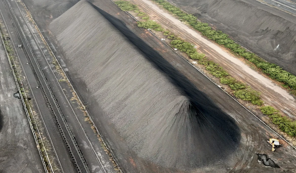
Iron ore, coal, coke, limestone, pellets and slag have different properties. A useful stockyard review keeps pile identity, geometry and material assumptions connected.
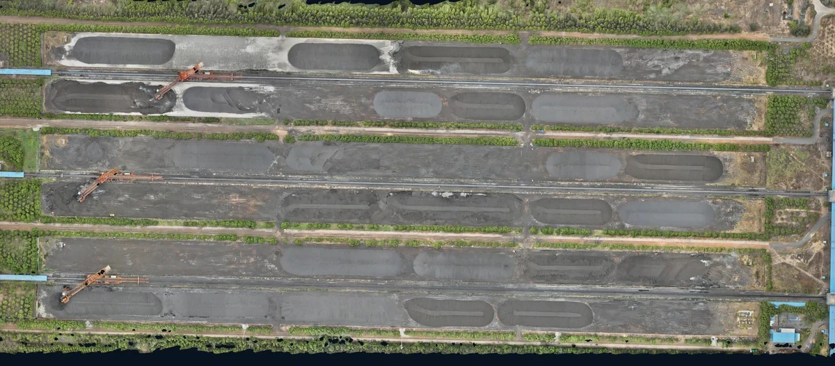
Define the piles and the reference base before capture. Review measured volumes with the density inputs used for estimated tonnage.
Stockpile measurementRepeat the measurement on an agreed basis so changes between visits can be interpreted. A date alone does not make two captures comparable.
Explore V7Discuss environmental observations and asset inspection alongside the physical layout and operating activity.
Environmental intelligenceFor a useful first discussion
Thermal power & energy
Coal stockpiles, site infrastructure and environmental conditions call for different kinds of evidence. Define each question clearly before choosing the capture method.
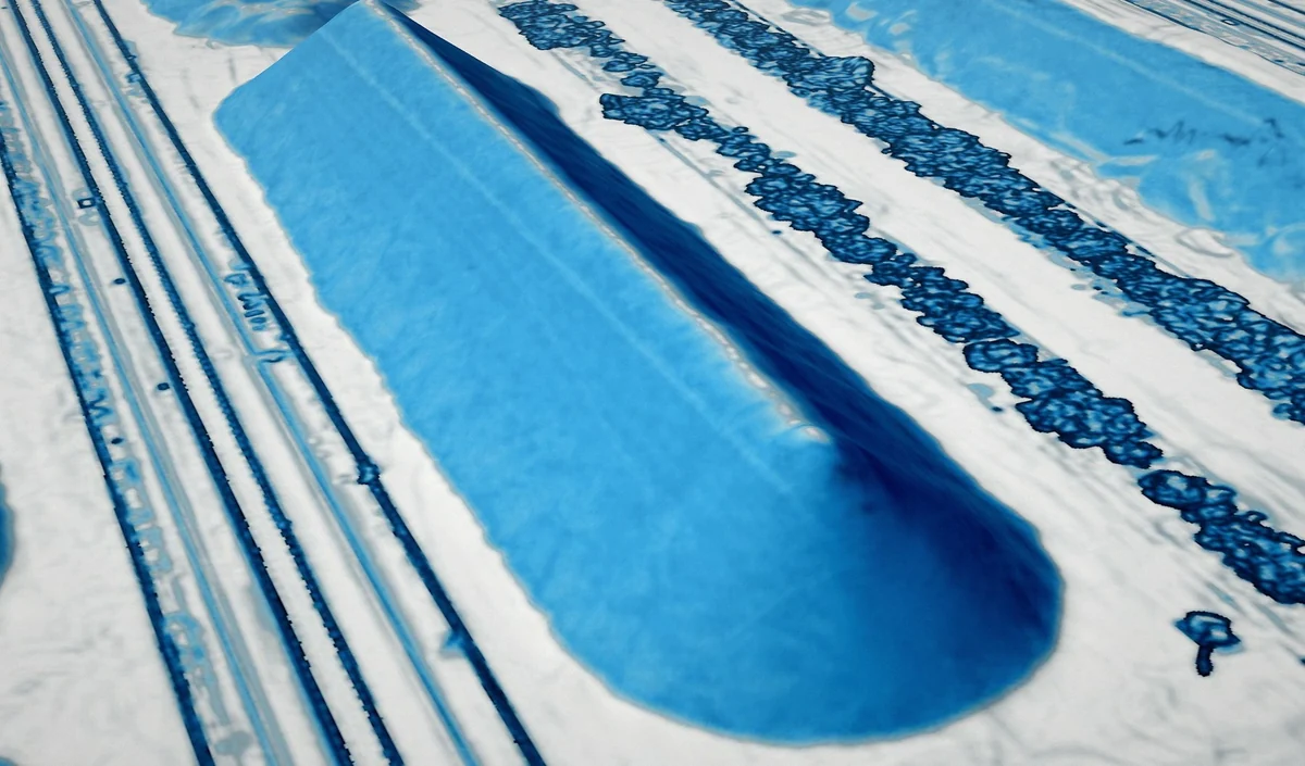
Measure geometry, agree the measurement base and document the inputs used to estimate tonnage.
Stockpile intelligenceBring environmental observations into site context and distinguish measured information from modelled interpretation.
Environmental intelligenceConnect inspection imagery with the relevant structure and observation so the engineering team can review it.
Asset inspectionFor a useful first discussion
Infrastructure & utilities
Roads, corridors, structures and utility sites need spatial information that can be located and reviewed. A coherent site record helps teams move from a general view to a particular question.
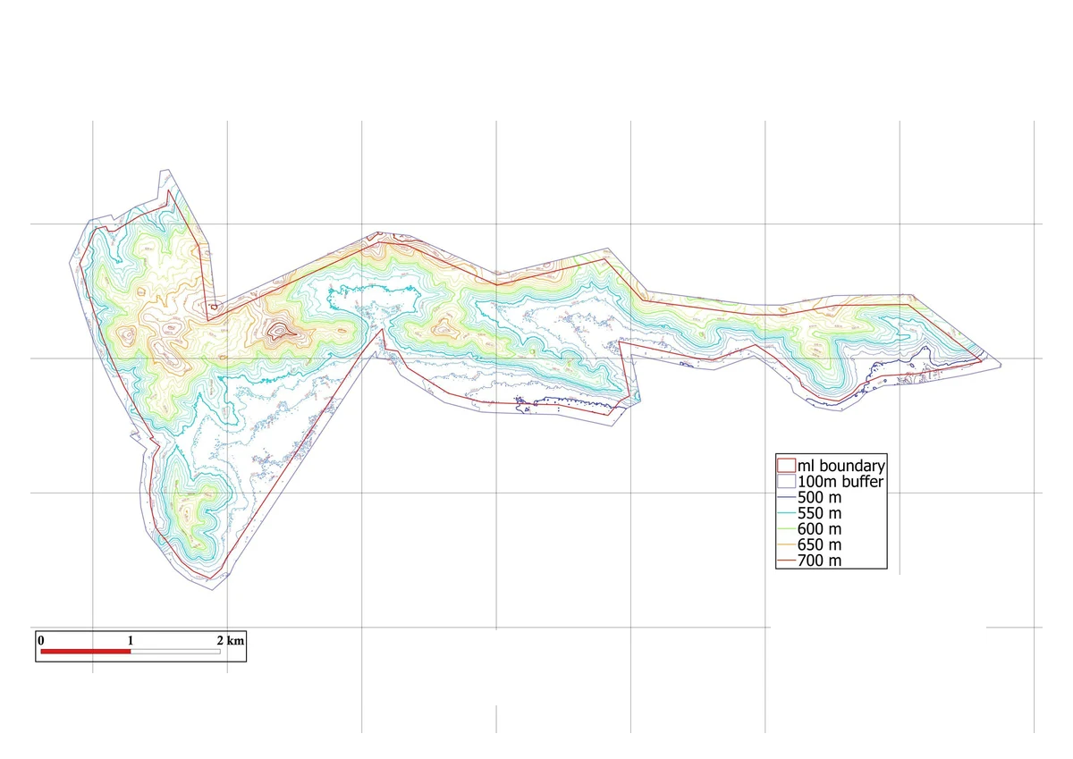
Capture terrain and site features for an agreed mapping or engineering purpose.
LiDAR & mappingOrganise visible observations with their location and supporting imagery. Engineering assessment remains part of the review.
Inspection & conditionAgree the coordinate system, formats and review workflow with the people receiving the data.
The V7 platformFor a useful first discussion
Environment & site operations
Environmental and EHS teams need to understand observations alongside the physical site, the timing of activity and relevant conditions. The first task is to define the monitoring question.
Plan sensor positions and keep location, time and measurement quality visible in the review.
Environmental intelligenceCompare observations with the site context. Modelled scenarios can help frame an investigation when their inputs and assumptions are clear.
Explore the approachBring evidence, open questions and agreed reporting needs together without presenting a hypothesis as a confirmed source.
Connected through V7For a useful first discussion
Regulated engagements
Government, defence and critical infrastructure programmes have specific procurement, permission and information-handling requirements.
Discuss the authorised scope and operating context with the team before sharing sensitive site material. Counter-UAS and related regulated activities require a project-specific assessment.
Explore the counter-UAS capabilityBegin with the right question
We can begin with the site and work towards the right measurement approach.