
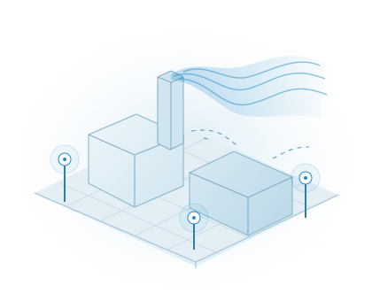
Environment
Environmental intelligence
Map airborne conditions around industrial sources and connect readings with site and weather context.
Explore the solutionSolutions for your operation
Drone-enabled field intelligence for mines, stockyards, industrial plants and critical assets. Choose the decision you need to make; we connect the capture, specialist analysis and handover.
Help me choose a solution8 solutions
Environment
Map airborne conditions around industrial sources and connect readings with site and weather context.
Explore the solution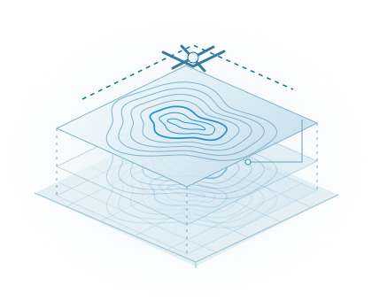
Exploration
Turn drone-borne magnetic acquisition into geological interpretation and exploration priorities.
Explore the solution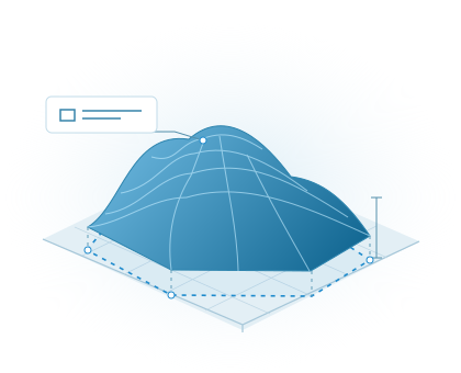
Operations
Measure each pile, document the tonnage basis and support your inventory close.
Explore the solution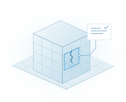
Assets
Inspect hard-to-reach structures with located imagery and an organised finding register.
Explore the solution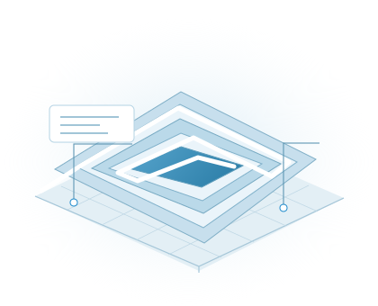
Operations
Compare terrain, stockyard and haul-route changes against a repeatable site baseline.
Explore the solution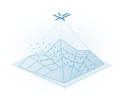
Exploration
Bring classified point clouds, terrain models and contours into your engineering workflow.
Explore the solution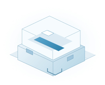
Exploration
Equip a field team with airborne and ground-reference instruments.
Explore the solution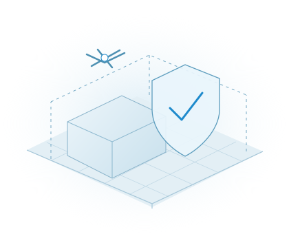
Assets
Discuss a governed airspace-awareness requirement. Authorised government agencies only.
Explore the solution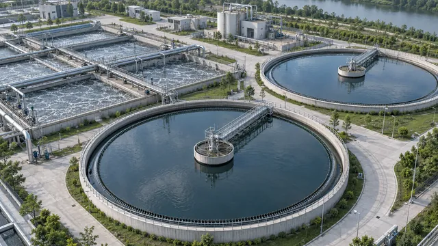
An upcoming water-intelligence offering. Share your monitoring and reporting needs.
One connected approach
A field mission is the start. The handover connects the source data, analysis and reporting so operations, engineering and leadership can work from the same evidence.
01 / Capture
Define the area, access, operating constraints and the information needed before selecting a sensor or capture method.
02 / Understand
Apply the relevant processing and specialist interpretation. Keep observations, assumptions and limitations distinguishable.
03 / Use
Agree the deliverables and use Flybi V7 where it helps your team explore, compare and discuss the site.
Start with the decision
We’ll help identify a suitable starting point and the information needed to scope it.