
01 / Acquisition design
Capture the right detail.
Design flight lines, tie lines and terrain following around the target and block. Synchronised ground-reference readings support correction for magnetic variation over time.
Aeromagnetic intelligence
Flybi connects drone-borne magnetic acquisition, geophysical processing and geological interpretation. Resolve the patterns across your block, review structural targets and give the next investigation a documented basis.
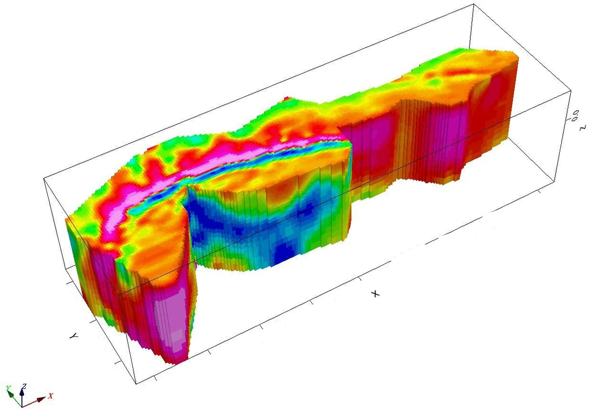
Geophysical interpretation
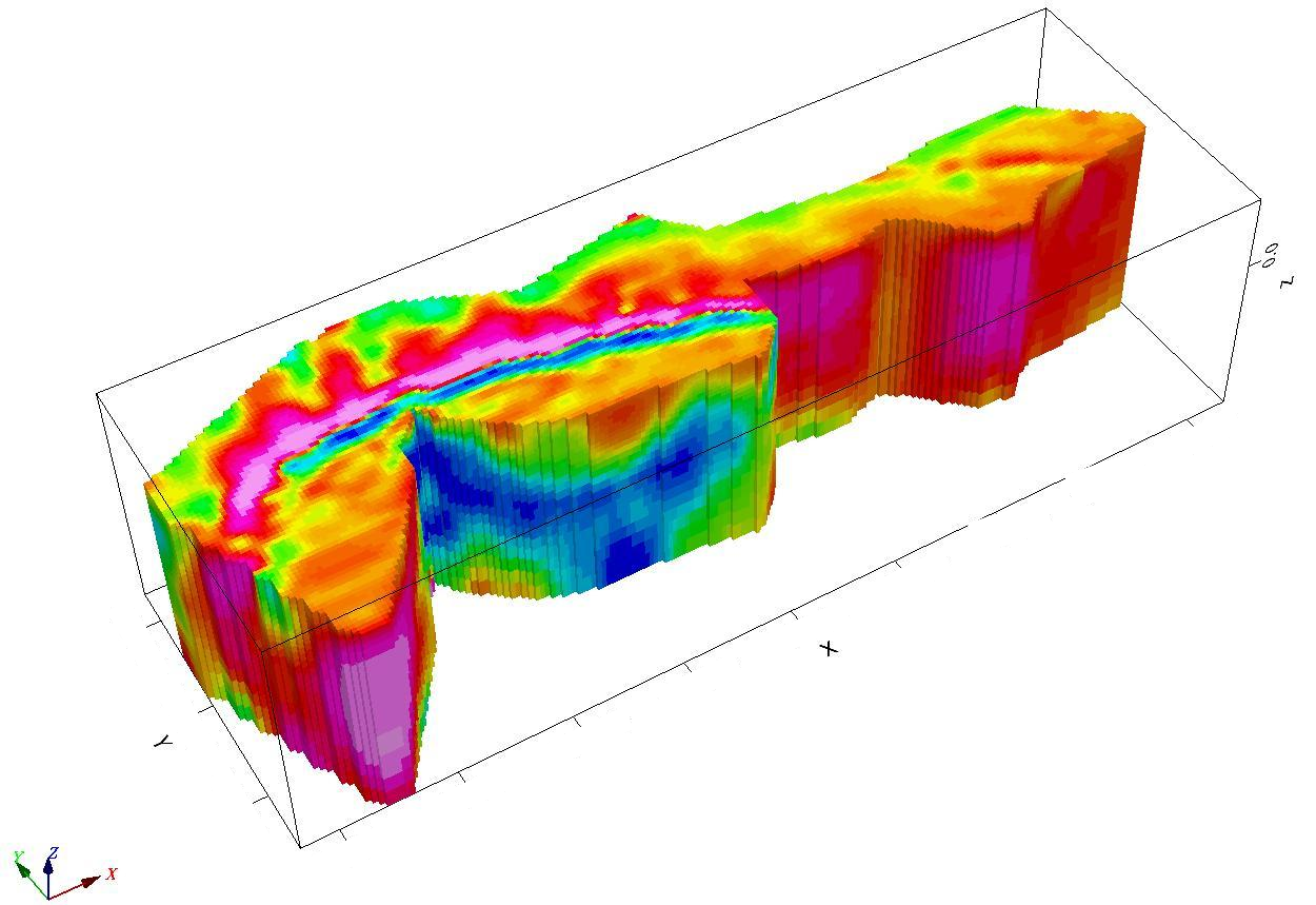
Explore source-derived geophysical outputs, from mapped magnetic variation to the report’s subsurface models. Change the block, compare views, and inspect the detail.
 This view could not load. Select another view or try again.
Loading the numerical grid…
Drag to rotate. On touch screens, drag sideways; scroll vertically as usual. Display height represents magnetic amplitude, never ground elevation or depth.
Report views are source-derived excerpts with site-identifying labels withheld. Anomaly surface uses the supplied numerical RTE grids; it is a scalar visualisation, not a new inversion. Height and colour are normalised separately for each block.
Subsurface interpretations are non-unique and require geological validation. Magnetic response does not confirm mineral grade or reserves.
The source grids contain single-band floating-point magnetic values at 12.5 m spacing in the project coordinate system. The report’s RTE legends establish nanotesla (nT); scalar units are not embedded in the TIFF tags. The viewer samples the original grid at a regular stride and retains its final row and column. Values are transferred to 0.01 nT precision.
Blank cells remain blank. A displayed face is omitted if any original cell within its footprint is NoData (−99999); no gaps are filled and no new geological bodies are inferred. Surface height and colour use each block’s full value range, with a display-only relief control. Compare amplitudes using the numerical legend, not the apparent height between blocks.
The numerical asset loads only when you choose Anomaly surface. Report views remain available independently.
A stronger basis for investigation
Magnetic variation can reveal contrasts and structures worth investigating. The useful result is an interpretation grounded in geology, not an assumption that every anomaly is a deposit.
01 / Acquisition design
Design flight lines, tie lines and terrain following around the target and block. Synchronised ground-reference readings support correction for magnetic variation over time.
02 / Processing
Review line data, diurnal and regional-field corrections, levelling and gridding. Keep the correction history with the processed outputs so specialists can follow the chain.
03 / Interpretation
Read magnetic domains, lineaments and suitable derivative maps alongside geology. Distinguish an interpreted target from a confirmed mineral occurrence.
Interactive explanation
Move through the same conceptual block. The layers explain the workflow; they are not measurement results.
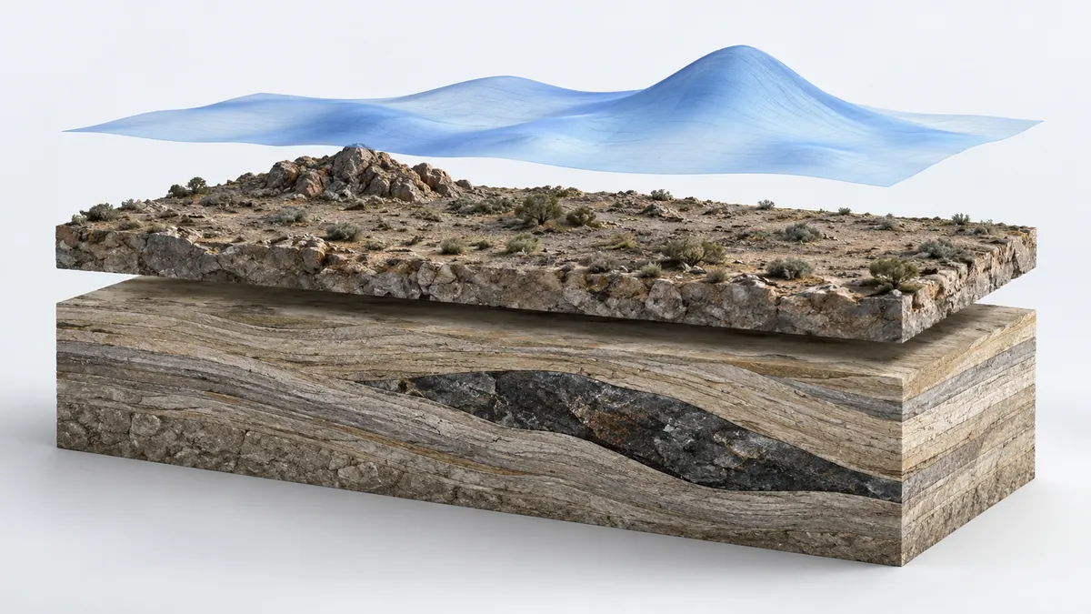 Illustrative block · no measured values
Flight-line coverage is designed around the block, target, terrain and required detail. Ground-reference data helps account for variation over time.
Line spacing here is illustrative, not a recommended flight plan.
Deliverables to agree
01 / Grids & maps
Total Magnetic Intensity (TMI) and selected derivatives, such as analytic signal or vertical derivative, with coordinate and processing metadata. GeoTIFF and specialist grid formats are defined with the receiving geophysical team.
02 / Interpretation
Magnetic domains, interpreted lineaments and follow-up priorities, supported by maps and geological reasoning. Where a target memo is included, record coordinates, assumptions and the evidence still needed.
03 / Data & quality record
Line-data files, base-station records and a processing report that explains corrections, quality checks and exclusions. Define the raw-data handover and interpretation responsibility before acquisition.
How the work comes together
01 / Before mobilisation
Share the boundary, target geology, access, available historic data and required outcomes. Agree acquisition design and permissions before fieldwork.
02 / In the field
Acquire the planned lines and reference data. Review coverage and quality while there is still an opportunity to resolve gaps.
03 / At the review
Review magnetic maps and interpretation with the exploration team. Use existing outcrops, boreholes or other available evidence to prioritise follow-up and explain uncertainty.
Before you scope a block
No. Magnetic measurements respond to contrasts in magnetic properties. Geological interpretation and further evidence are required to understand a source and assess its significance.
They depend on the target, expected geometry, terrain, required detail, operating permissions and campaign economics. A suitable design follows the block review; one fixed specification does not fit every site.
Flybi offers acquisition through interpretation. Tell us which stages your team will undertake so we can define the data handoff, correction records, formats and interpretation responsibility.
A block boundary, target or geological question, terrain and access information, existing maps or borehole data, timing and preferred outputs provide a useful starting point.
Start with the decision
Share the boundary, geology and question your team needs to investigate.