The four layers of a counter-UAS system
A Counter-UAS requirement becomes easier to evaluate when four functions are specified separately. The sensors, operators and authorised response need to work together, but each function should have its own acceptance criteria.
Detection: establish that an object or signal of interest may be present. Classification: assess what it is and how confidently it can be distinguished from other activity. Tracking: maintain a useful record of its location and movement. Response: determine what an authorised operator may do under the applicable permissions and operating procedure.
Discuss the proposed sensor mix against the site, target set and operating conditions. A single demonstration range does not describe all four functions.
What actually works, under real conditions
Capability should be tested against a defined operating environment and threat set. RF conditions, weather, clutter, target behaviour, line of sight and operator workload can change the result. A detection range or demonstration video is not a complete acceptance test.
Ask for the conditions behind each claim, the false-alarm behaviour, the target types tested and the limits of classification and tracking. Different sensors can complement one another, but combining them does not remove the need for site-specific validation.
Where the procurement conversation goes wrong
A procurement list can describe components without explaining how a team will use them. Detection without a workable classification process may leave operators with alerts they cannot interpret. A proposed response capability also needs a clear decision process, authority and operating limits.
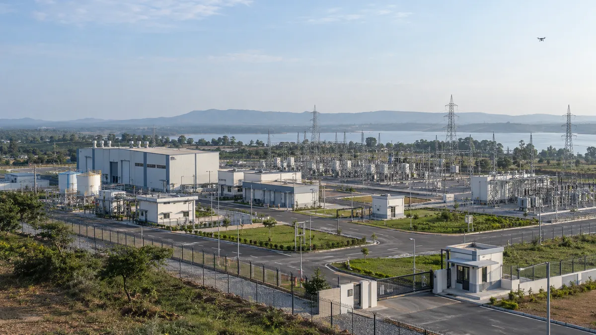
Ask for trials that represent the intended site: its terrain, line of sight, weather, radio-frequency conditions and surrounding activity. Evidence collected in a different environment is a starting point for review, not automatic acceptance at the deployment site.
The defensive-geospatial adjacency
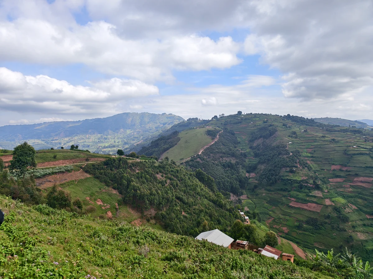
Geospatial context helps a team understand the site being protected. Terrain, structures, boundaries and observation locations provide a common frame for reviewing the proposed coverage and its gaps.
That is the connection with Flybi’s industrial intelligence work: organise the physical context so that requirements and observations can be discussed in the same place. A map alone does not establish detection performance or authority to act.
The honest recommendation
Begin with the authorised requirement, the site environment and a documented acceptance programme. Separate detection, classification, tracking and any proposed response so that responsibilities and limitations remain clear.
Any interference or interdiction capability requires the relevant legal and operational authorisations. Public website copy is not permission to procure, demonstrate or deploy such a system. Refer to the published Counter-UAS compliance notice and obtain current advice through the authorised procurement channel.
From understanding to action
Bring the question to your site.
Tell us what you need to measure, understand or review. We can help define the next step.