
Exploration · Aeromagnetic intelligence
Magnetic information with geological context.
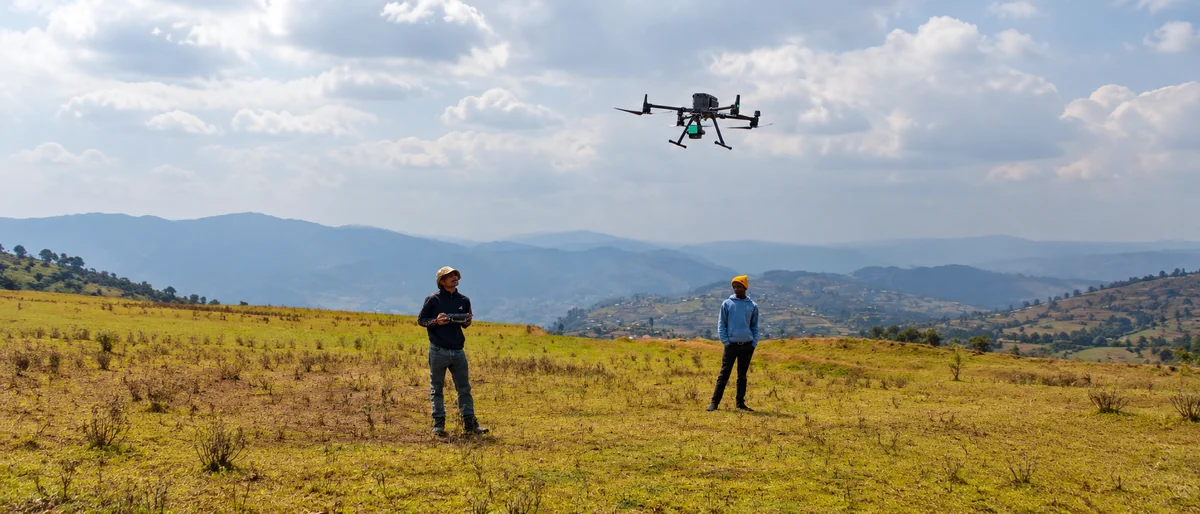
Drone-borne magnetic acquisition and geological interpretation help an exploration team move from a broad block to questions for targeted follow-up.
Uganda · Exploration programme
The question
An exploration block can contain magnetic variation that is difficult to interpret from surface observations alone. Acquisition, processing and geological context need to support a focused investigation.
The approach
The engagement in Uganda brings drone-borne magnetic acquisition together with processing and geological interpretation over a greenfield exploration block. The project account identifies Total Magnetic Intensity grids, analytic-signal and first-vertical-derivative products, structural lineament interpretation and a memorandum for target review.
The outputs
- Magnetic grids and derivative products
- Structural lineament interpretation
- Depth-related interpretation products
- A target-review memorandum with geological context
What makes the information useful
Magnetic interpretation narrows questions for further work. An anomaly or interpreted target is not confirmation of mineralisation; follow-up geological and field evidence remains essential.
Related expertise
Aeromagnetic intelligence
Explore the method, the measurement basis and the questions to resolve before the first capture.
Begin with the right question
Start with the exploration question
Bring the block boundary, geological context, existing data and intended investigation. These help define a useful magnetic acquisition and interpretation scope.