
Mining · LiDAR topography
Terrain intelligence for the next flight.
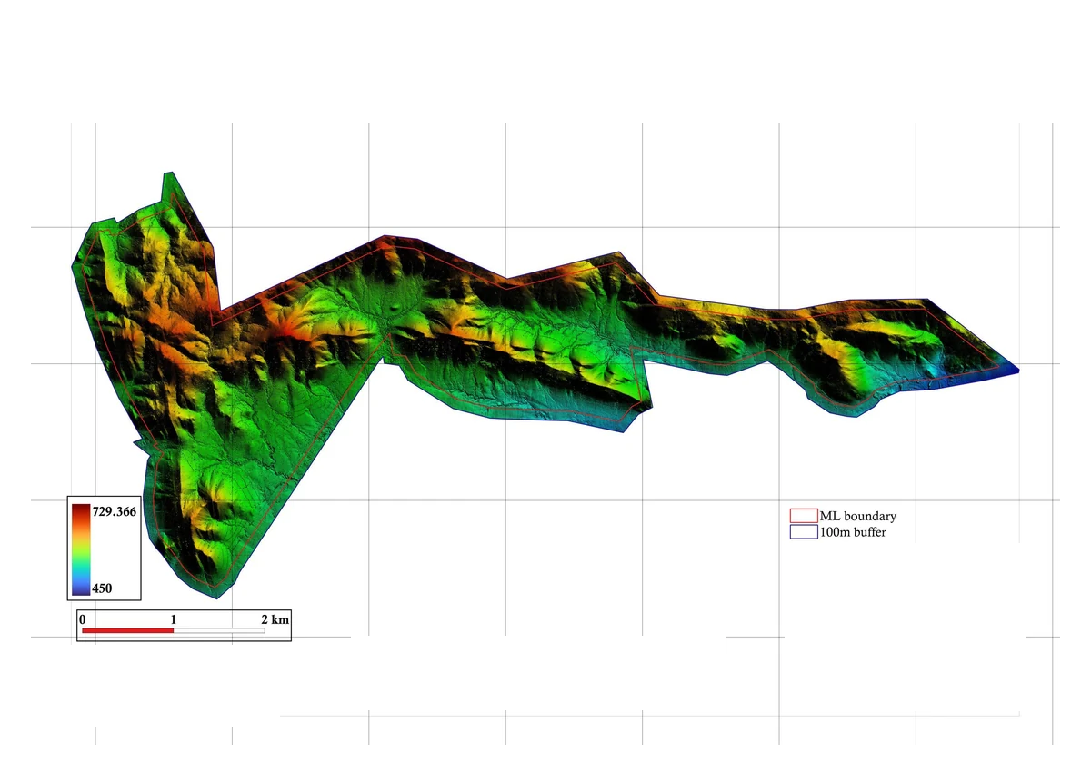
The project technical report shows how LiDAR terrain, surface models and an orthomosaic supported terrain-following magnetic acquisition and geological interpretation.
Terrain mapping programme
The question
The magnetic programme needed a clear picture of the ground before acquisition. Steep, changing terrain makes flight height meaningful only when the plan is related to a dependable surface model. The terrain dataset also gives the interpretation team a spatial reference for the magnetic observations.
The approach
The technical report describes LiDAR capture followed by point-cloud processing and filtering. A digital surface model records the complete observed surface; a digital terrain model separates the ground after classification. An orthomosaic connects that geometry to visible site features. These outputs were used to plan terrain-referenced magnetic flight paths.
The outputs
- Digital terrain model and digital surface model
- Orthomosaic for site and interpretation context
- Classified point cloud
- Contours at the report’s stated 10-metre interval
What makes the information useful
Terrain and geophysics serve different purposes, but their spatial references need to agree. In this programme the terrain model supported acquisition planning; the magnetic processing and interpretation followed as a separate workflow. The report excerpts shown here retain the scientific context; site-identifying labels are withheld.
Related expertise
LiDAR & aerial mapping
Explore the method, the measurement basis and the questions to resolve before the first capture.
Begin with the right question
Define the terrain record you need
Share the lease or site boundary, intended planning use and required models. We can discuss control, capture, classification and delivery requirements.