
Mining · Topography & inventory
The mine and its stockyard, in one spatial context.
LiDAR terrain and photogrammetric stockyard records connect mine planning with the geometry of ore and waste dumps.
JSW · Mining operation
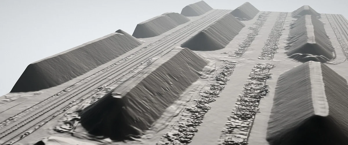
The question
The planning team needs terrain context, while the inventory team needs pile-level information. Treating the outputs as unrelated files can make the site harder to understand.
The approach
The mining programme combines LiDAR-derived topography with photogrammetric measurements of ore and waste dumps. Terrain and surface models support mine planning, while pile-level volumes and GIS-ready outputs keep stockyard review connected to the same site.
The outputs
- Digital surface and terrain models
- Pile-level volume records
- GIS-ready vector and raster outputs
- A reference for later site-change review
What makes the information useful
The practical connection is spatial: the topography and inventory can be reviewed as parts of the same operation. Coordinate systems, reference surfaces and intended uses must be agreed within the delivery scope.
Related expertise
Mining digitisation
Explore the method, the measurement basis and the questions to resolve before the first capture.
Begin with the right question
Connect planning and inventory
Tell us which terrain, surface and stockyard records your teams need, and which coordinate system and planning formats they use.